
Drone Services
Industrial Inspections.
Precision Structural Overviews From Safe Standoff Distances
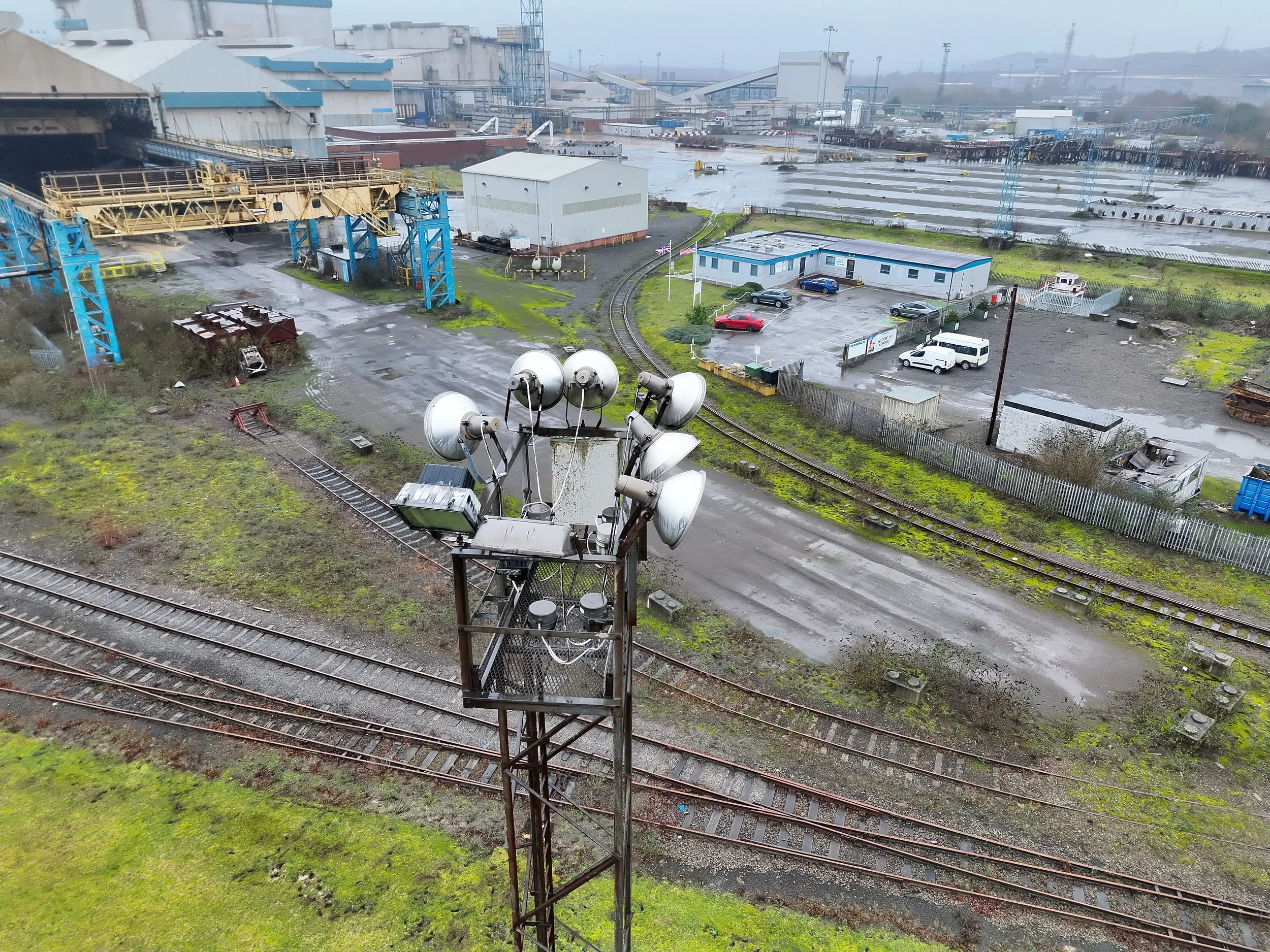
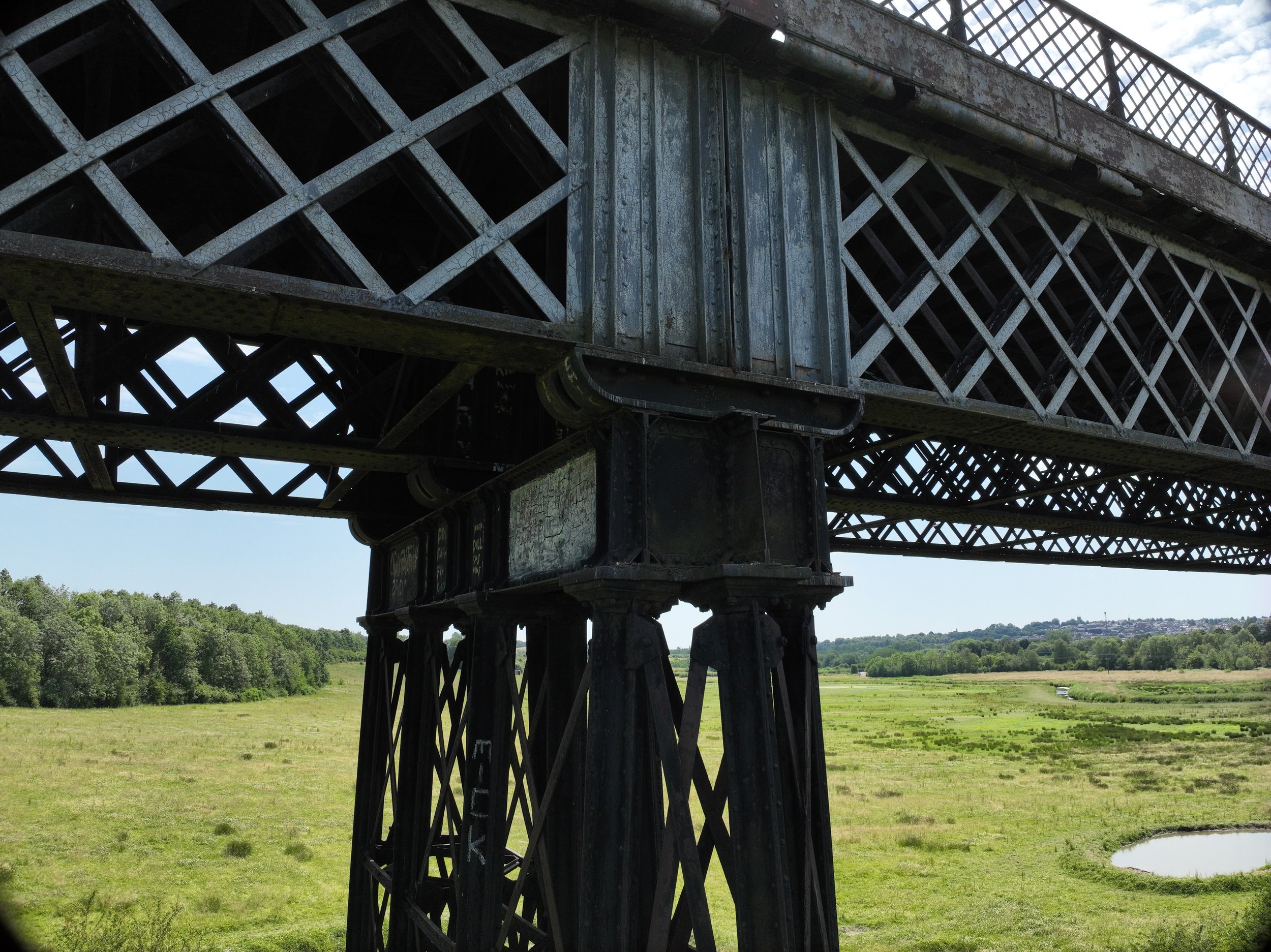
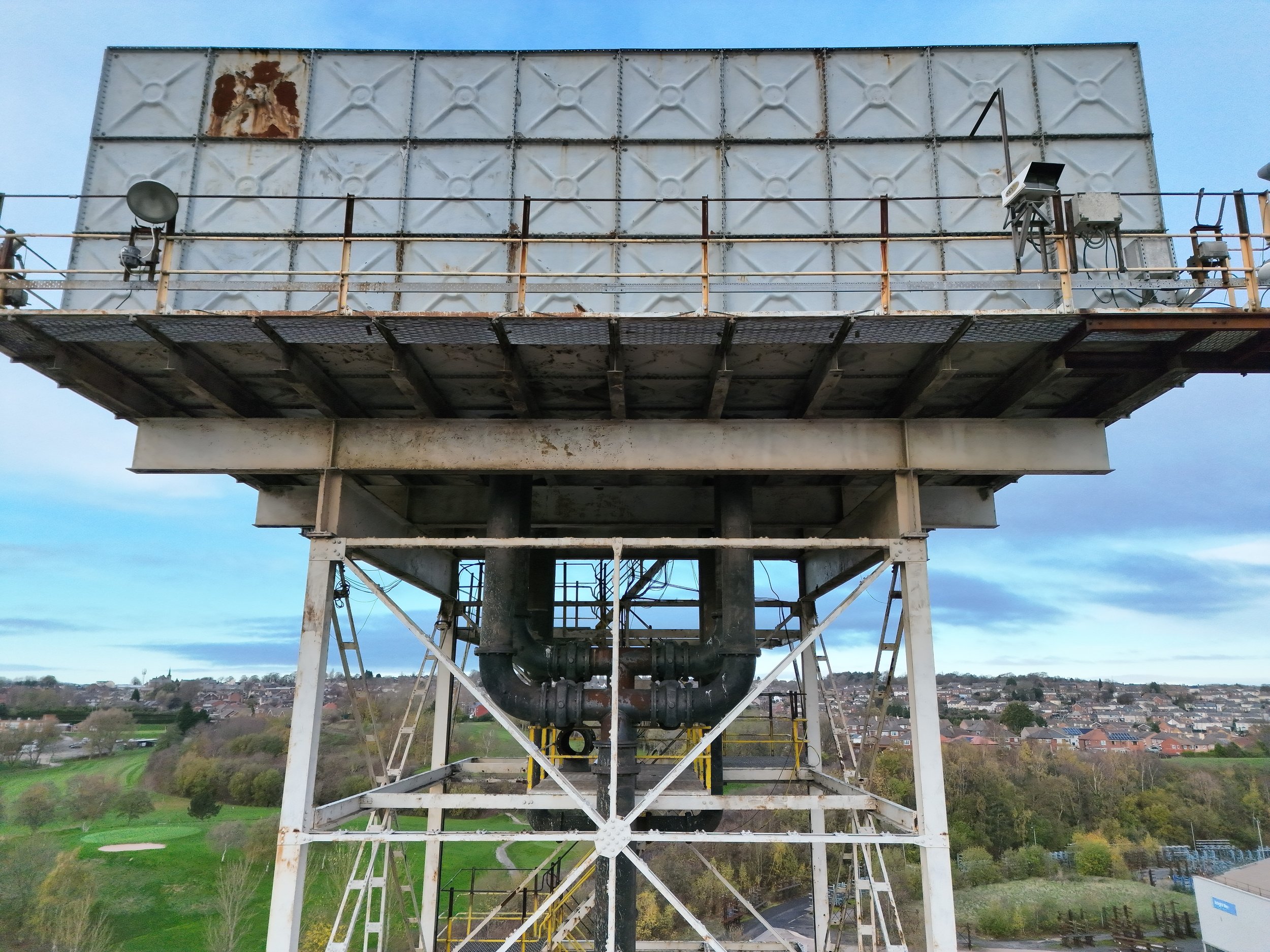
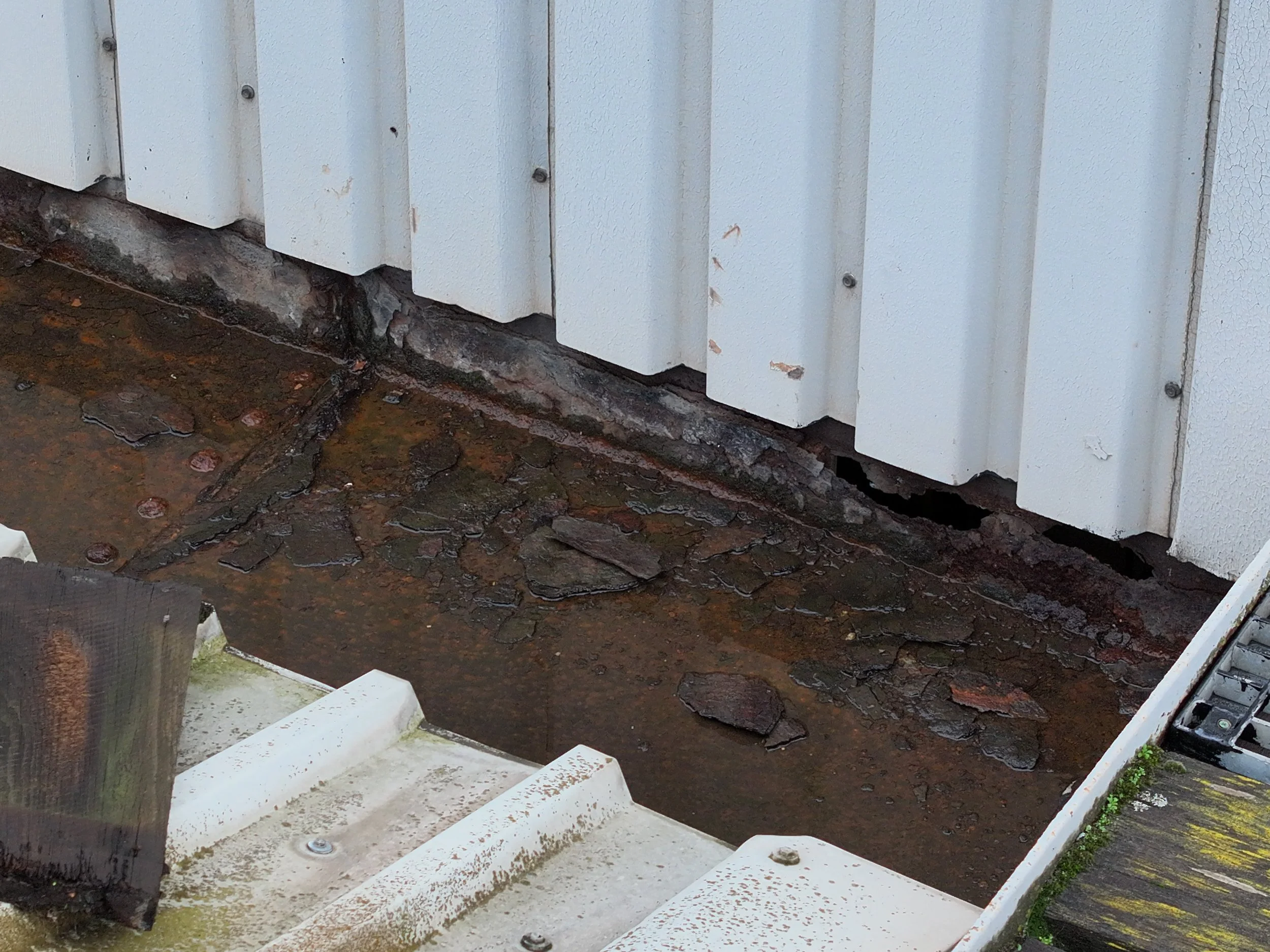
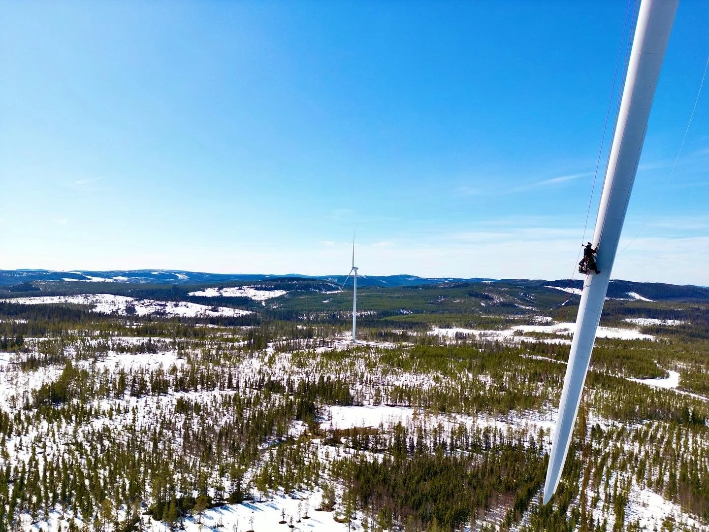
Using enterprise-grade UAV platforms equipped with advanced optical zoom sensors, we can conduct structural assessments without placing personnel at risk or requiring immediate rope deployment. This capability allows us to capture microscopic details—such as hairline fractures, weld degradation, and bolt integrity—on high-elevation infrastructure, live flare stacks, and heavy industrial assets without operational downtime.
Data Delivery: All inspection data can be delivered as standard high-resolution visual photo/video packages for rapid engineering review, or completely reconstructed into an interactive, cloud-hosted 3D digital twin for long-term asset management.
Industrial Thermal Imaging & Efficiency Surveys
Radiometric Thermography for Heat Loss and Renewable Infrastructure
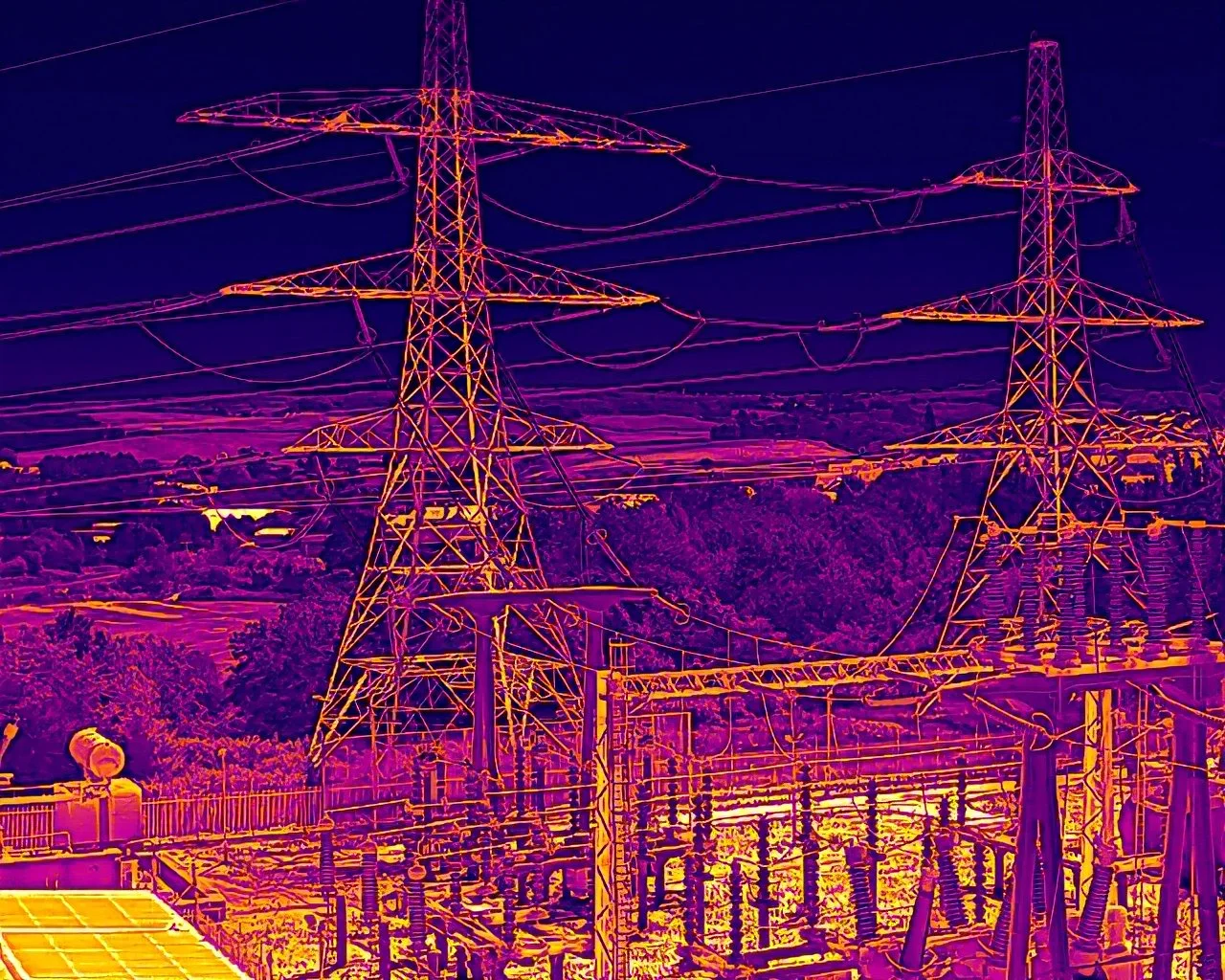
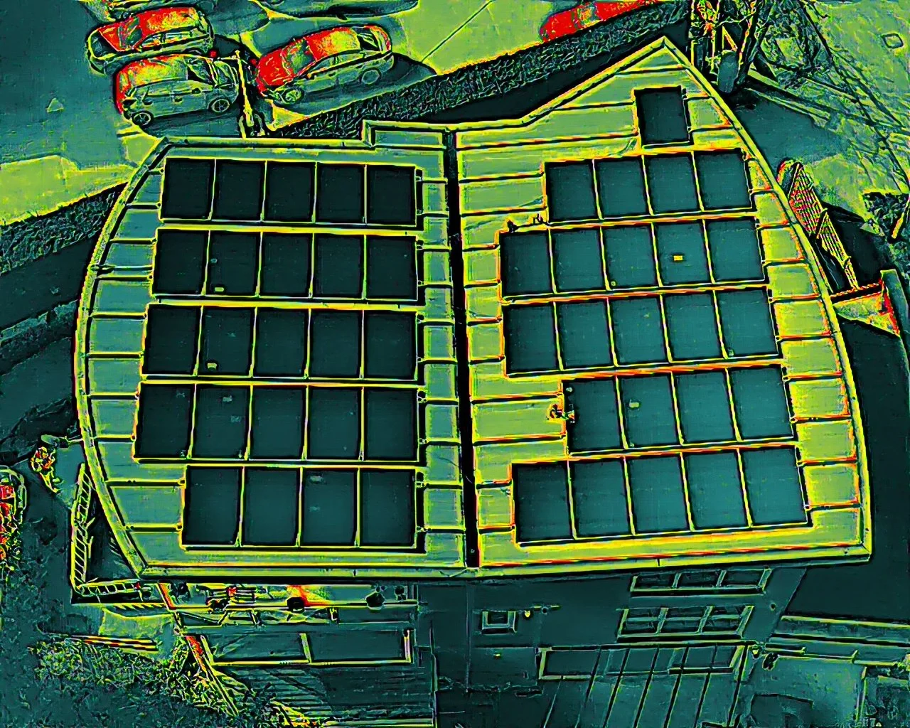
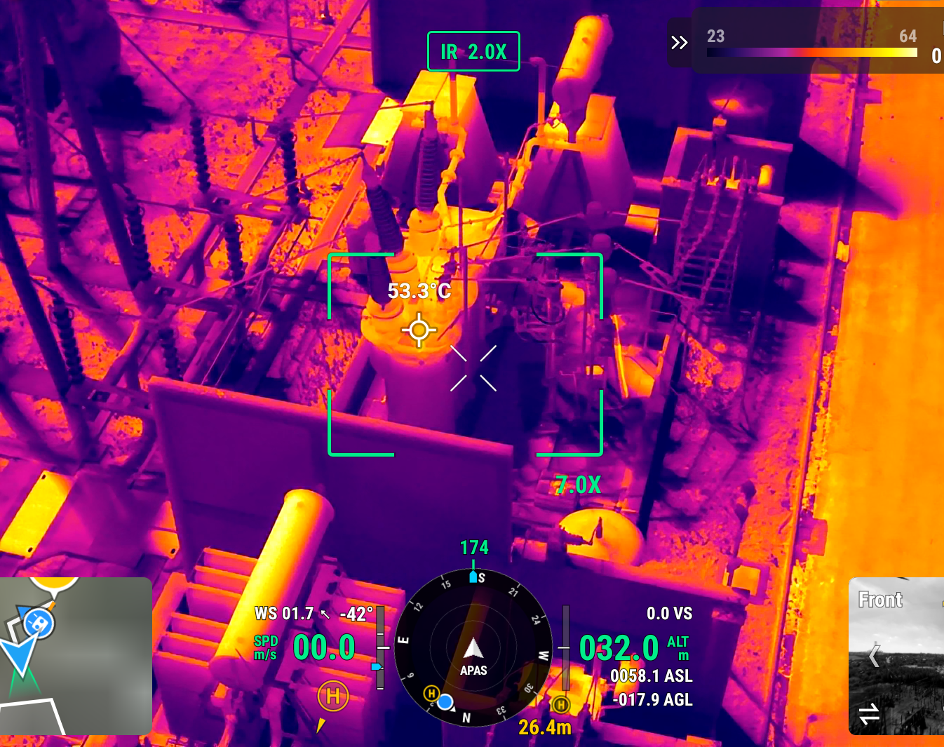
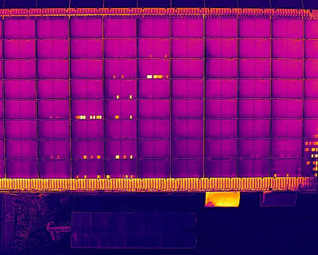
Invisible thermal defects can lead to massive revenue leakage and structural degradation long before traditional manual checks reveal an issue. Utilizing calibrated, high-resolution radiometric thermal sensors, we can conduct advanced thermographic surveys to diagnose subsurface asset health. We specialize in mapping structural building envelopes to identify localized heat loss and moisture ingress, as well as executing precision, automated grid missions across commercial solar panel installations and utility-scale solar farms to pinpoint defective cells, hot spots, and string anomalies.
Data Delivery: We provide complete data flexibility, delivering standard calibrated radiometric imagery and videos or analytical heat map reports.
Pipeline & Multi-Angle Infrastructure Surveys
Comprehensive Tracking for Hard-to-Access Corridors
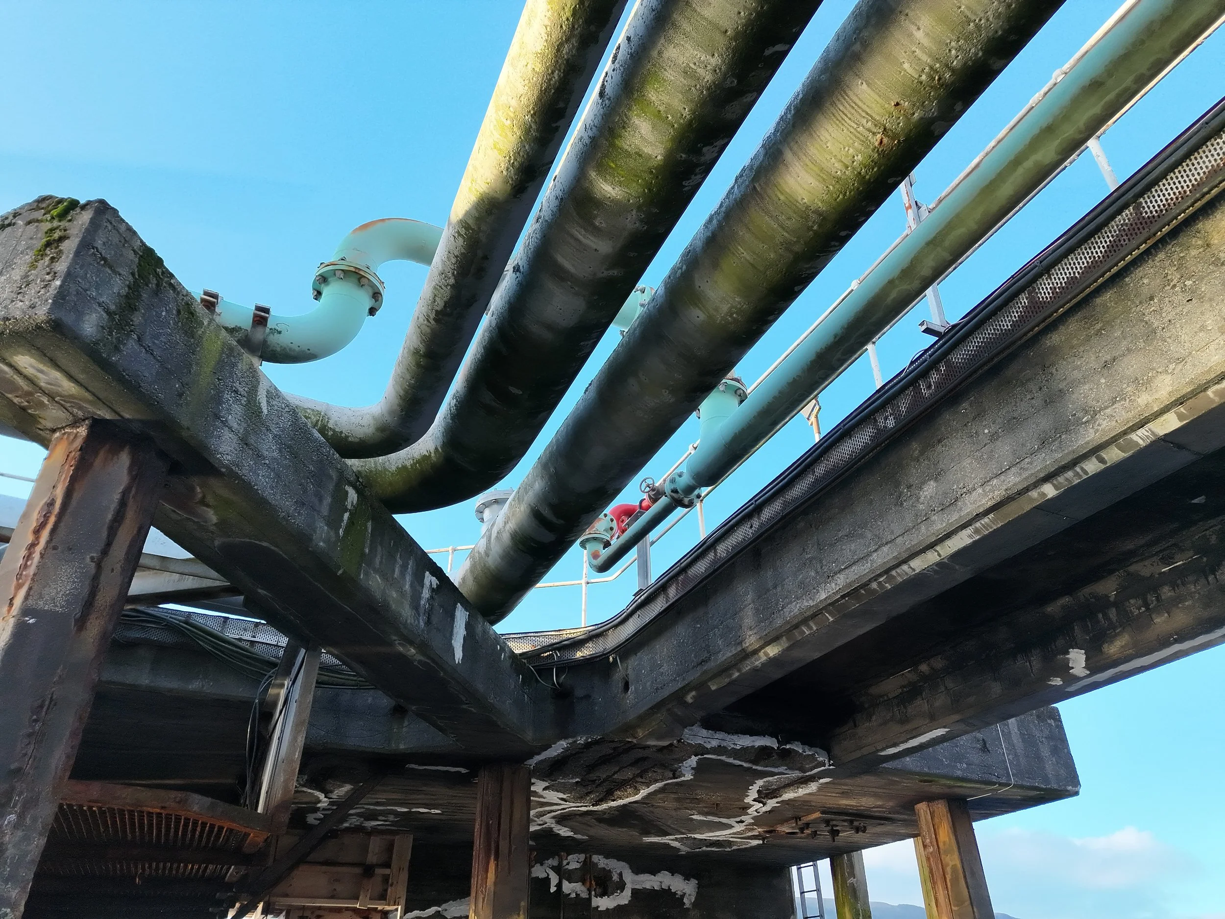
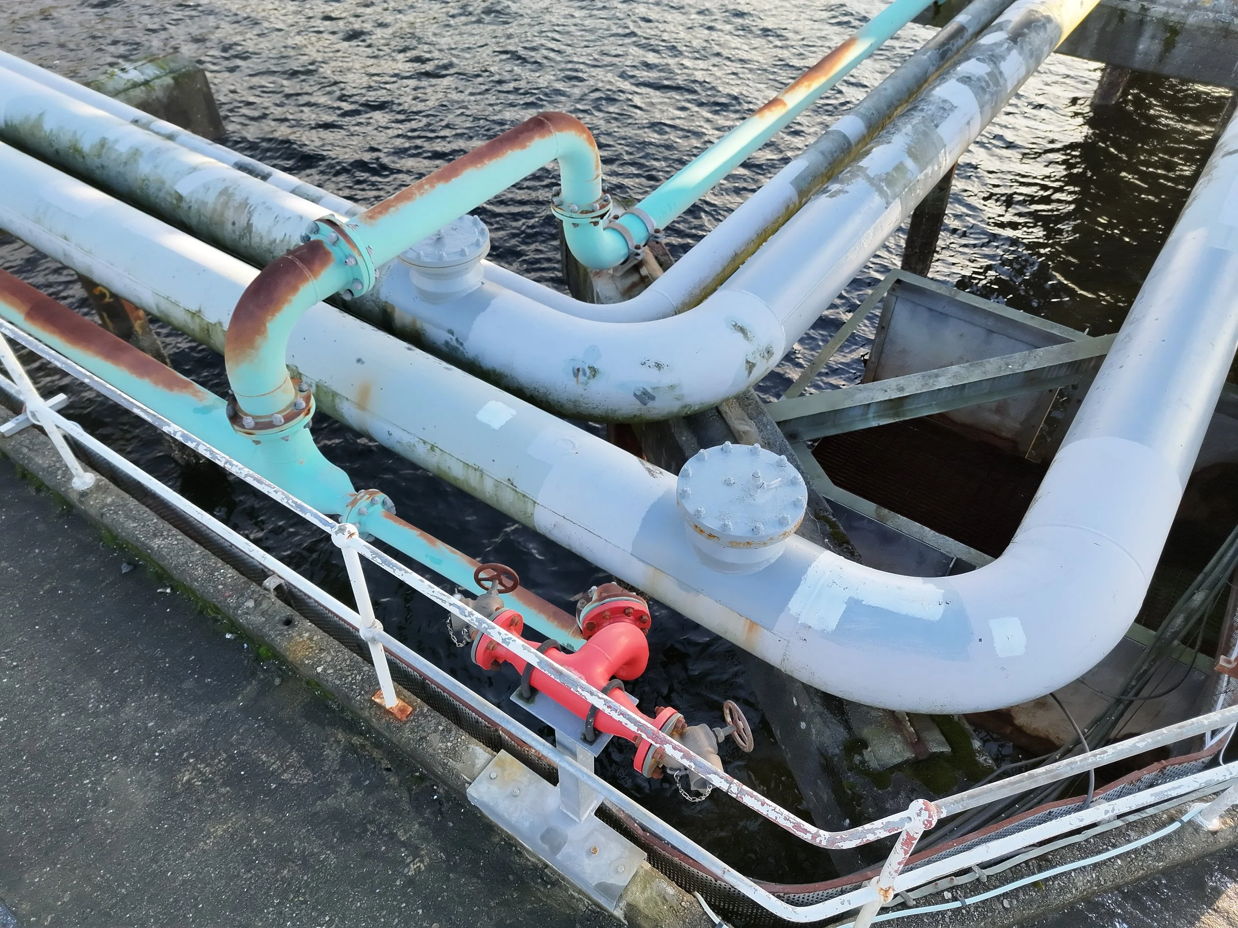
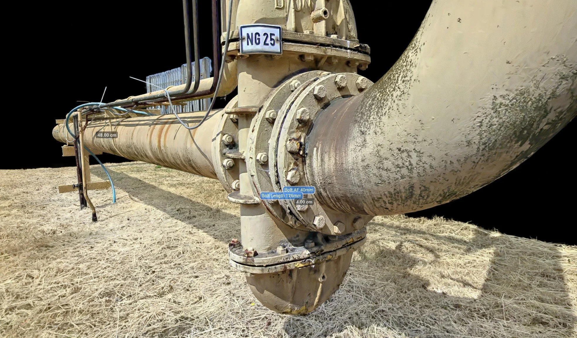
Pipeline asset integrity demands visibility from every possible angle. Our specialized flight workflows combine expansive, bird’s-eye aerial mapping for vast terrain corridors with precision, close-range tracking for complex infrastructure. We specialize in capturing the critical, hard-to-reach areas—including the direct undersides of pipelines resting on elevated piers, structural racks, or offshore caissons where traditional ground-based inspection is entirely impossible.
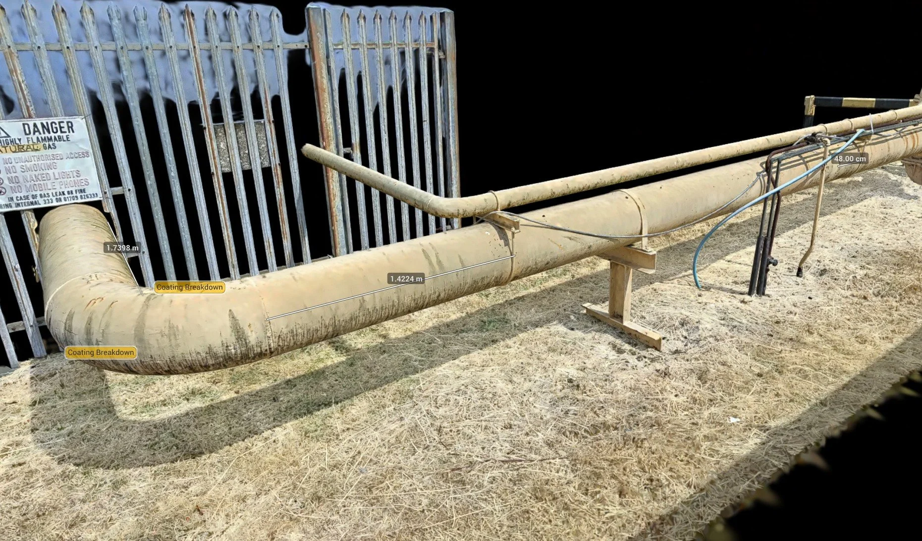
Data Delivery: We provide complete data flexibility, delivering standard high-definition visual and thermal photo/video outputs, or full processing into a geo-referenced 3D digital twin for exact tolerance measurements and spatial reporting.
Commercial Aerial Photography & Media
High-Impact Visual Assets for Marketing and Site Progression
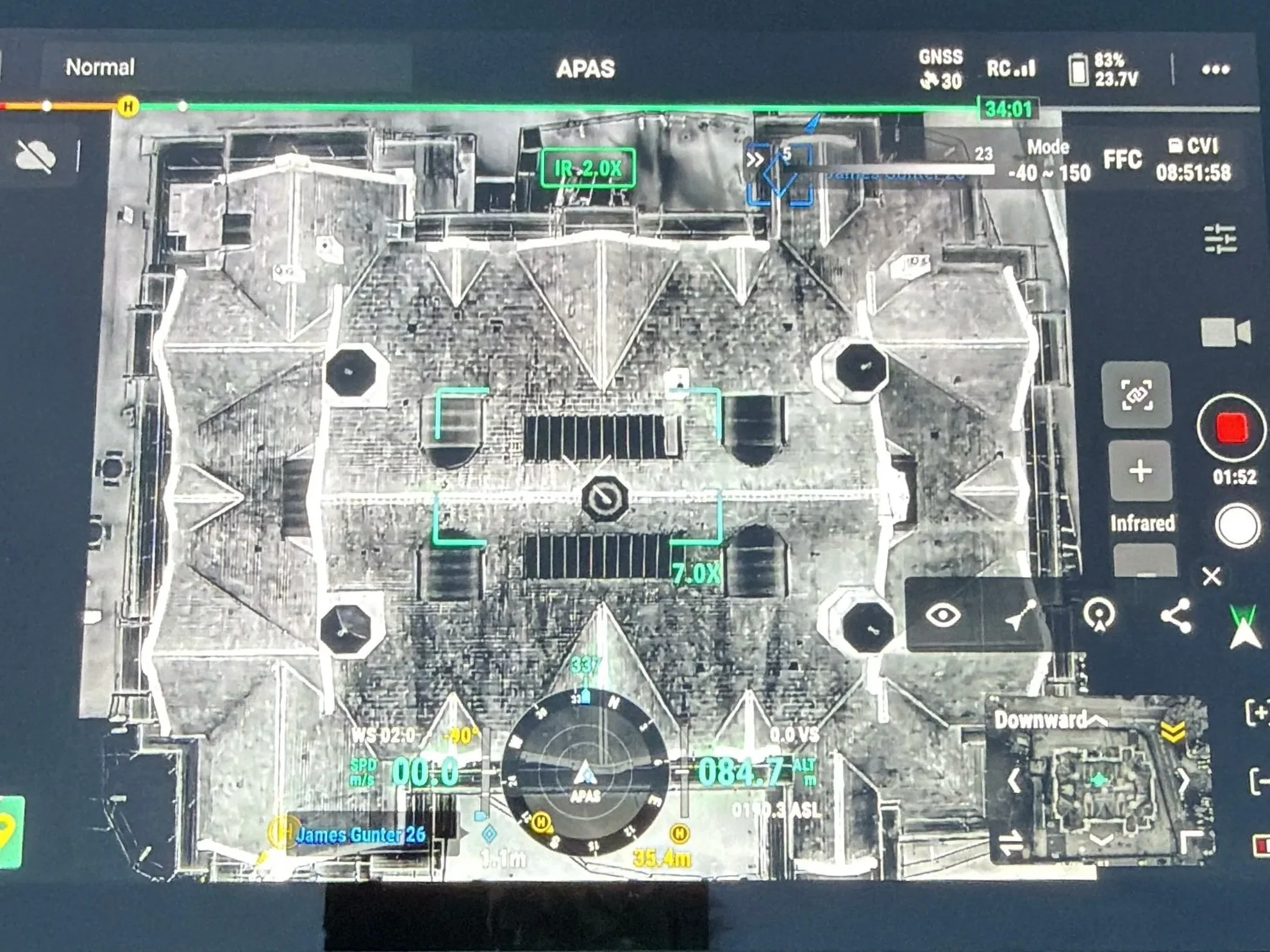
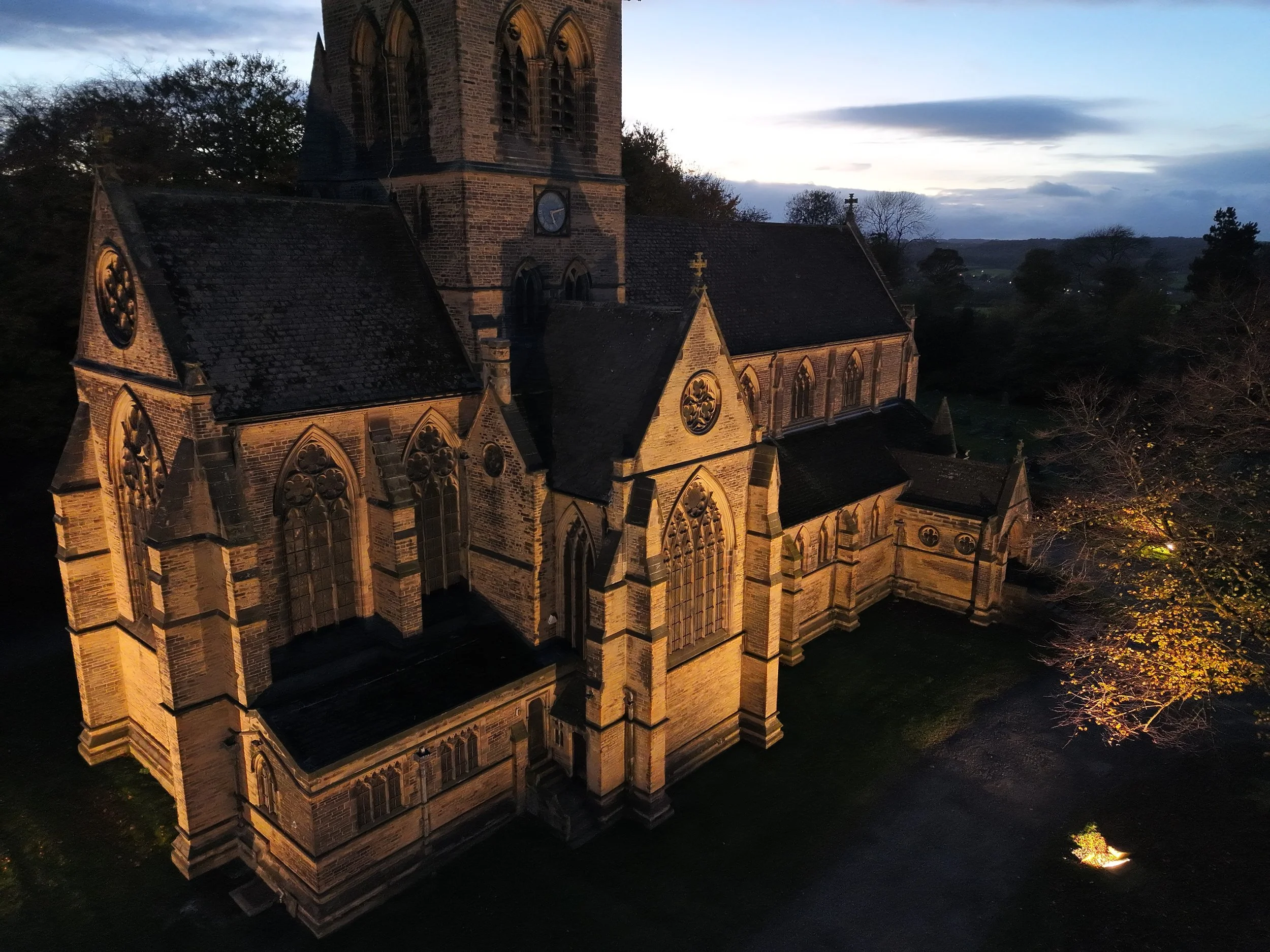
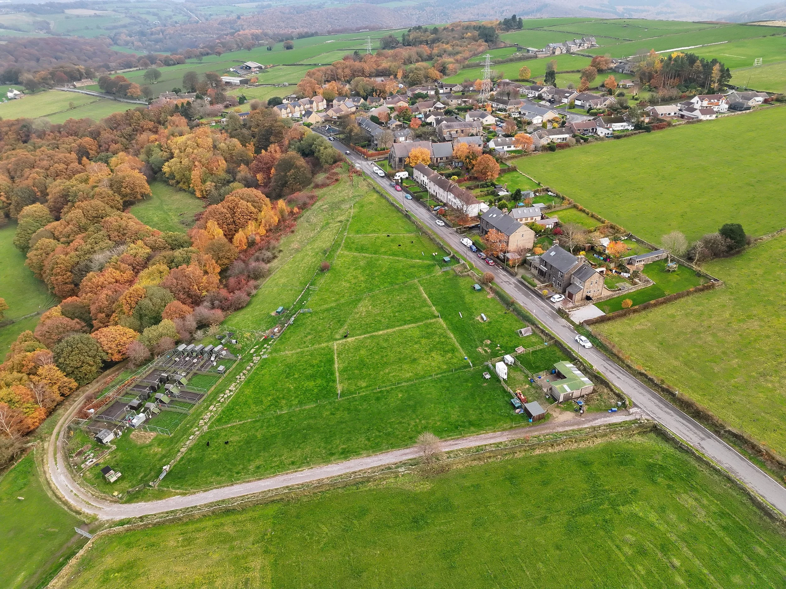
First impressions dictate market value, and nothing communicates scale, context, and structural layout quite like premium aerial imagery. Deploying ultra-high-definition 4K sensors, we capture crisp, stabilized visual assets tailored for commercial real estate marketing, corporate portfolios, and investor reporting. From sprawling infrastructure footprints to detailed architectural facades, our flight operations deliver the exact high-end media required to showcase asset boundaries, support planning applications, and meticulously track construction milestones over time.
Data Delivery: Available as fully edited, high-resolution photo/video packages ready for web and print, sequential time-lapse sets for progression tracking, or fully mapped overhead orthomosaics to supplement your traditional media campaigns.

Ecological & Wildlife Thermal Surveys
Non-Invasive, High-Resolution Environmental Mapping
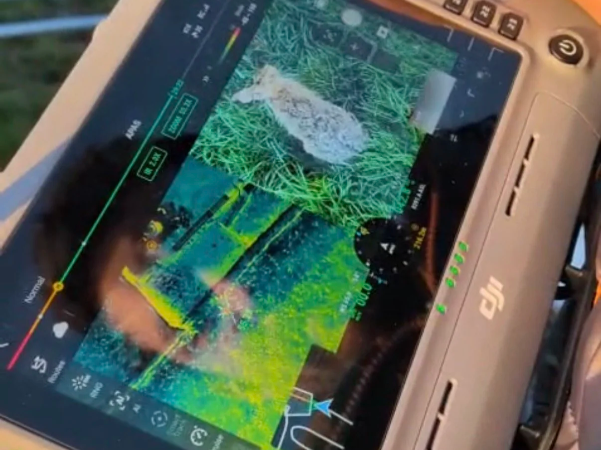
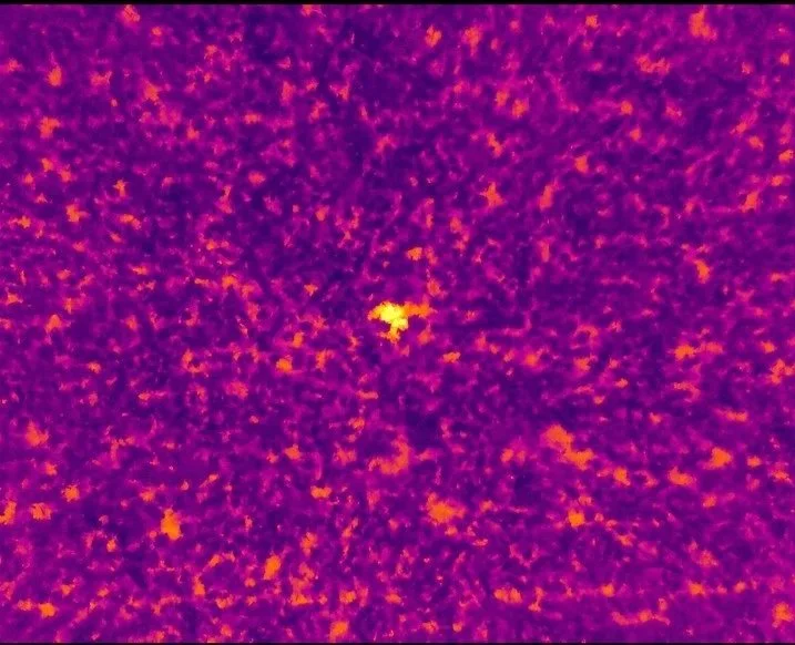
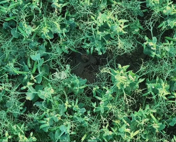
Leveraging advanced radiometric thermal sensors, we provide specialized aerial tracking that standard visual inspections cannot replicate. Our thermal survey workflows are highly optimized for ecological consultants, conservation groups, and pre-construction clearance, allowing us to accurately locate and map sensitive wildlife populations. From assisting with bat emergence surveys to identifying nesting curlews in dense, complex terrain, we deliver clear, actionable data without disturbing natural habitats.
Data Delivery: Provided as calibrated thermal maps, high-contrast infrared video telemetry, and high-resolution photo data sets optimized for environmental compliance and reporting.