 TECHNICAL INSIGHT.
AT EVERY LEVEL.Discuss your project
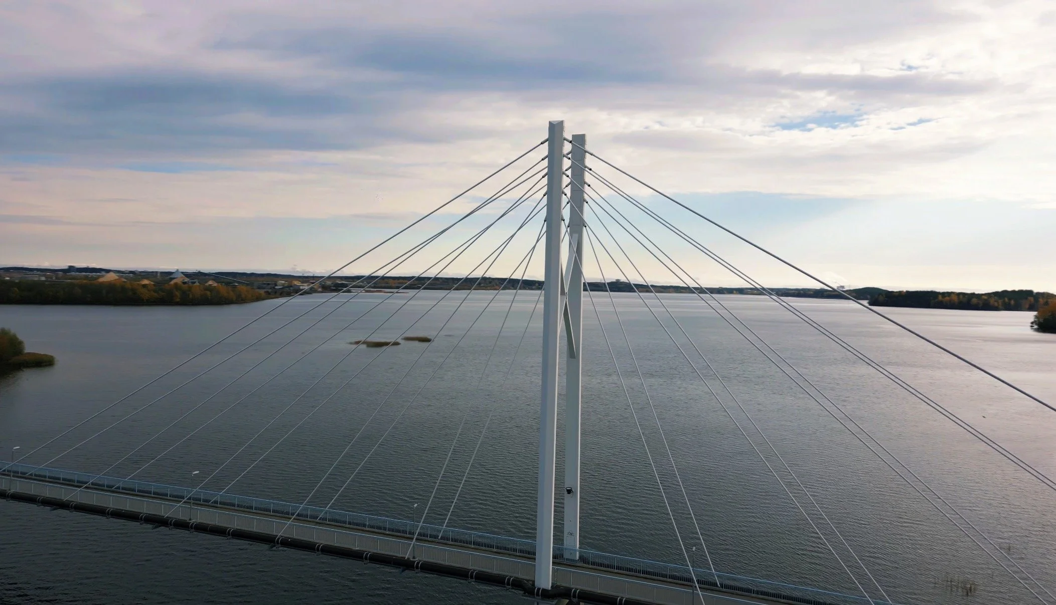
DRONE INSPECTIONS · SURVEYS · ROPE ACCESS
Drone inspections.
Specialist surveys.
Clearer answers.
Understand your assets. Plan your next move.
Drone inspections, thermal surveys and 3D capture for commercial and industrial clients, estate managers and facilities management teams.
⊕ BASED IN SHEFFIELD. WORKING ACROSS THE UK.

01 / THE INFORMATION YOU NEED
START WITH THE PROBLEM. WE’LL HELP WITH THE METHOD.Drone inspections.
Surveys. Rope access.
A roof you can’t reach. An asset you need to understand. A site you need to share.
Choose a service to see how we can help.
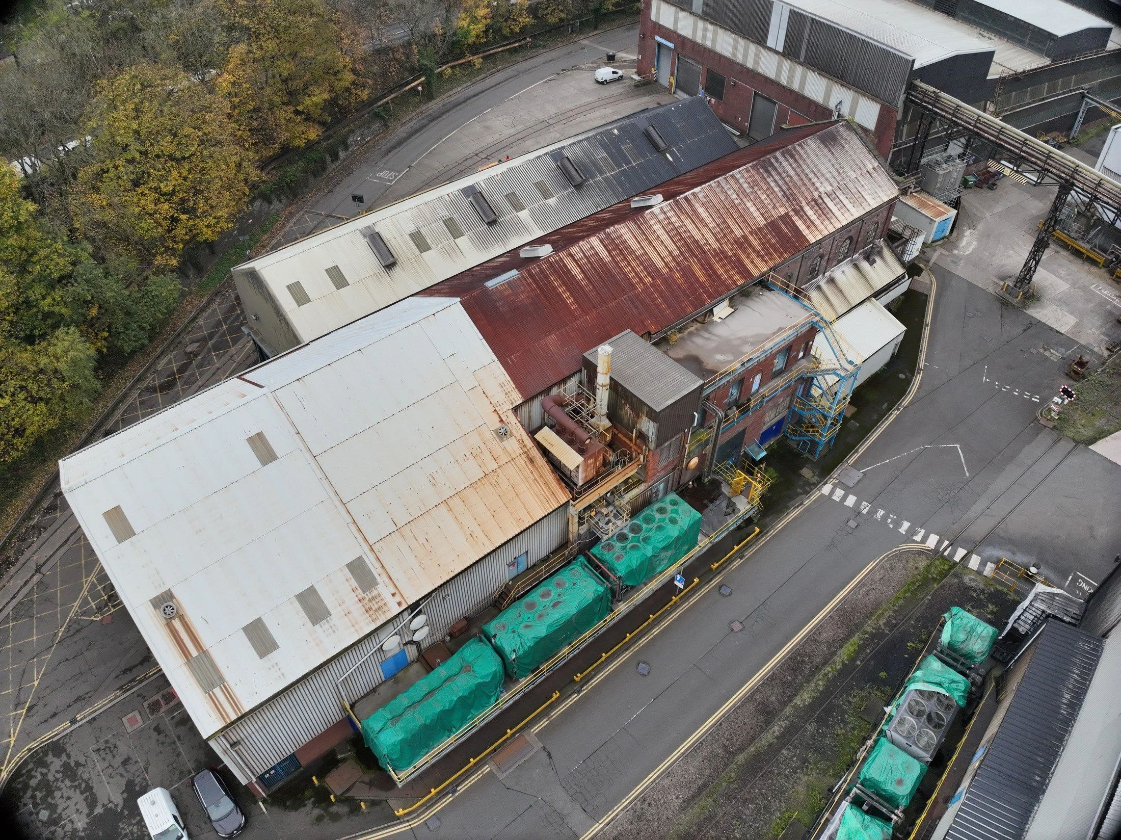
Drone roof & building inspections
See the condition of roofs, façades and hard-to-reach structures through detailed drone imagery. Clear findings help property, estate and facilities teams plan repairs and keep work moving.
YOUR OUTPUT Visual records and agreed inspection reporting.
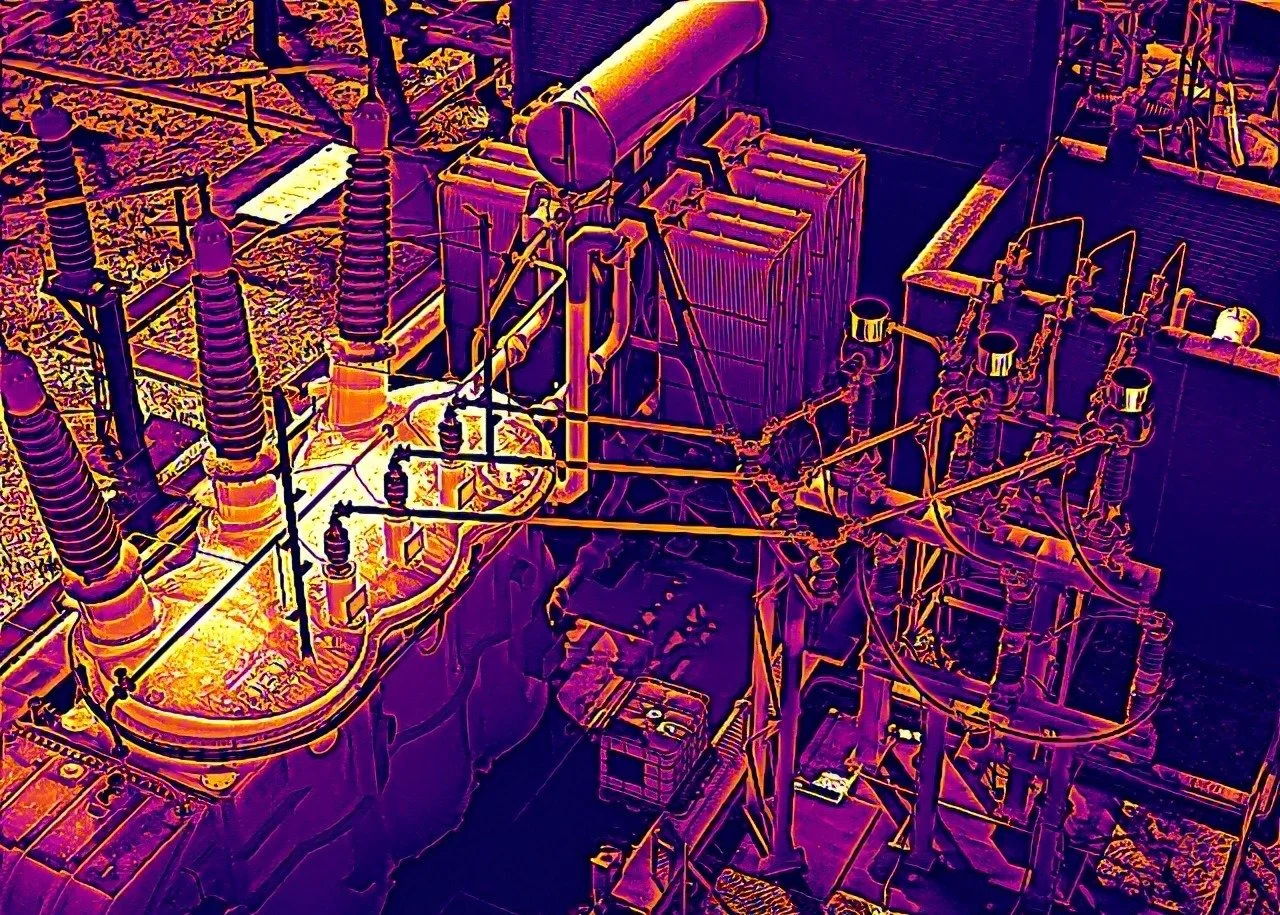
Thermal drone surveys
Pair thermal and visual records to locate temperature anomalies in electrical assets, solar panels and buildings. Give your team clear evidence to focus maintenance and repair work.
YOUR OUTPUT Thermal imagery and contextual observations, scoped to your asset.
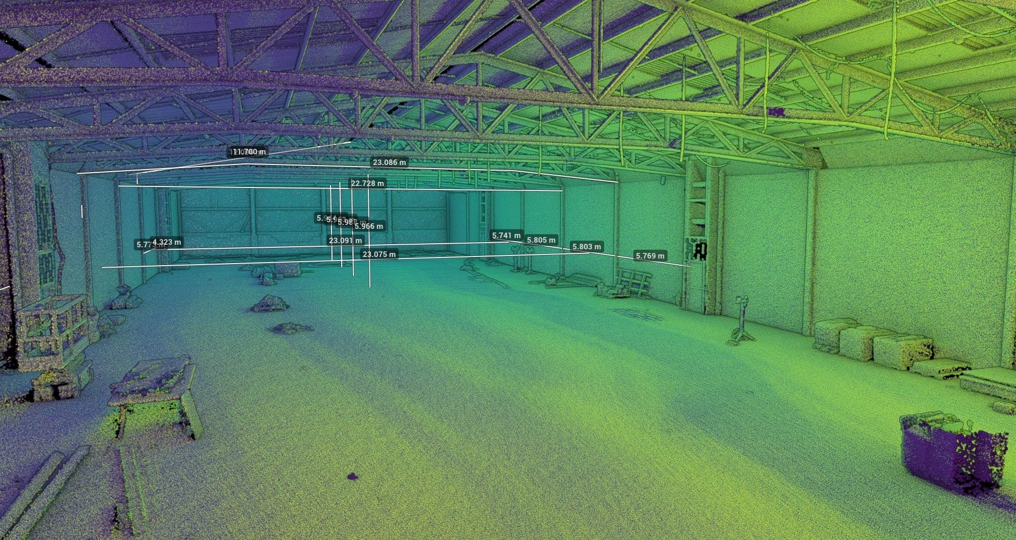
LiDAR surveys & 3D laser scanning
Record buildings, industrial interiors and land as detailed 3D point clouds. Turn the data into CAD floor plans, elevations, sections and topographical drawings for your next project.
YOUR OUTPUT / Point clouds, CAD drawings and survey records to suit your project.
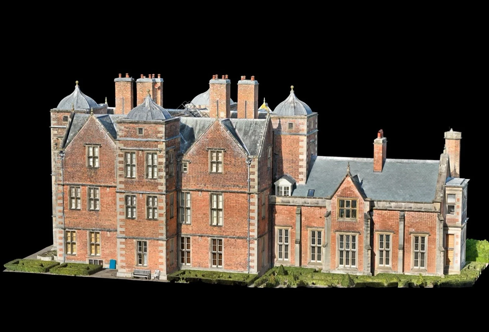
3D digital twins & photogrammetry
Explore a building or asset from different angles, with inspection observations connected to their location. Make reports easier to use for planning work and returning to the same details.
YOUR OUTPUT A 3D model with the detail and viewing approach agreed for your project.

Rope access & NDT inspections
Reach the areas that need hands-on inspection, testing or maintenance. Experienced rope-access supervision and a range of NDT inspections bring the detail into focus.
YOUR OUTPUT Agreed hands-on inspection, testing or maintenance at height.
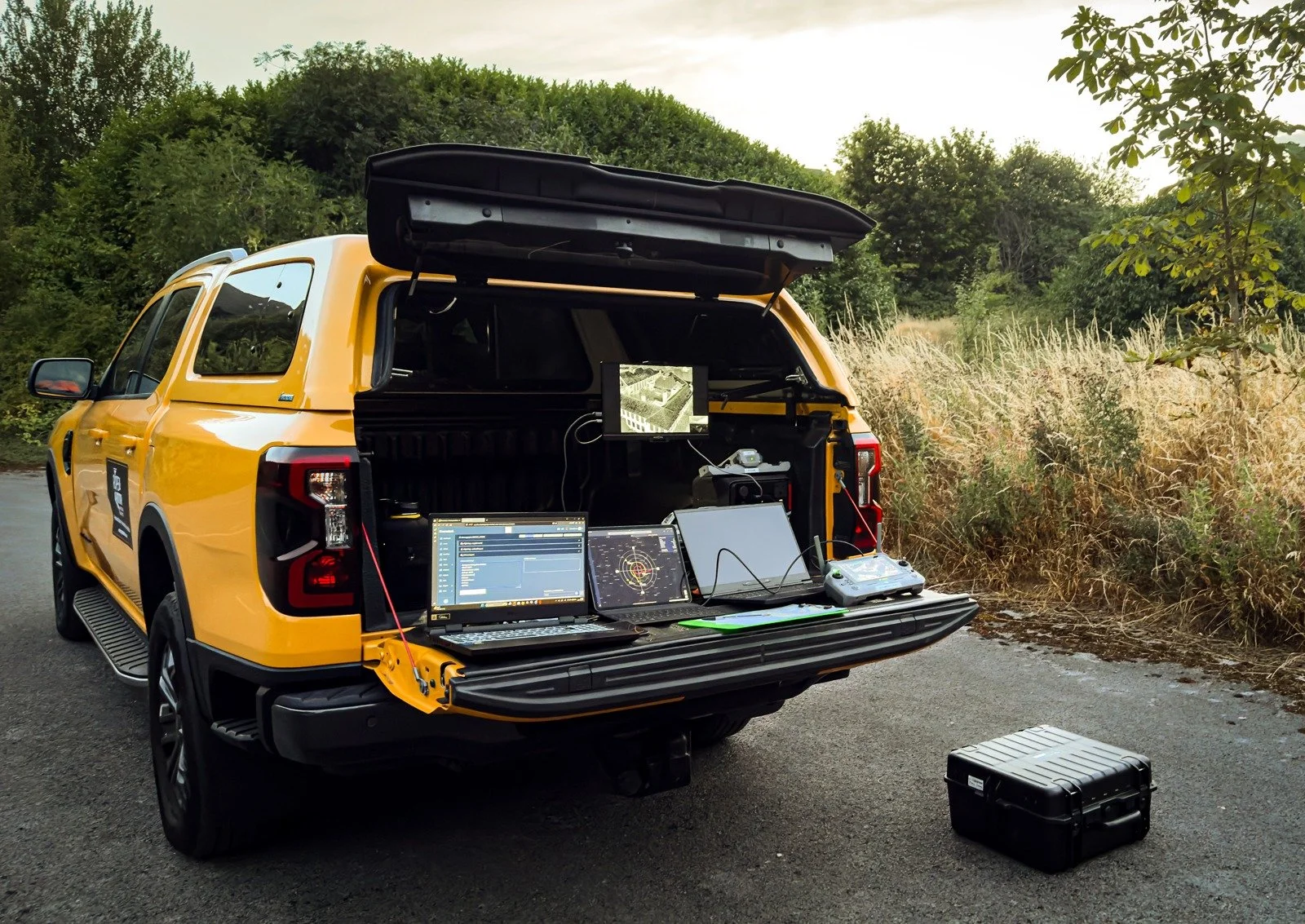
Thermal wildlife & land surveys
Bat emergence survey support, pre-harvest thermal wildlife searches and topographical maps for fields and farmland. Clear imagery and location records for landowners and ecology teams.
YOUR OUTPUT Imagery and location records to support field decisions.
02 / THE WORK, UP CLOSE
REAL ASSETS. USEFUL INFORMATION.Drone surveys
in practice.
Our job is to make the detail useful.
Explore the imagery, models and site context behind our work.
FEATURED PROJECT / KIPLIN HALL
Historic detail.
A new perspective.
Rooflines, turrets and masonry. Captured from the air and brought together in a detailed 3D record.
Explore our Kiplin Hall model in this short film. Drone photogrammetry makes high-level details easier to view and discuss, wherever your team is working.
A shared visual reference for heritage conservation and further inspection planning.
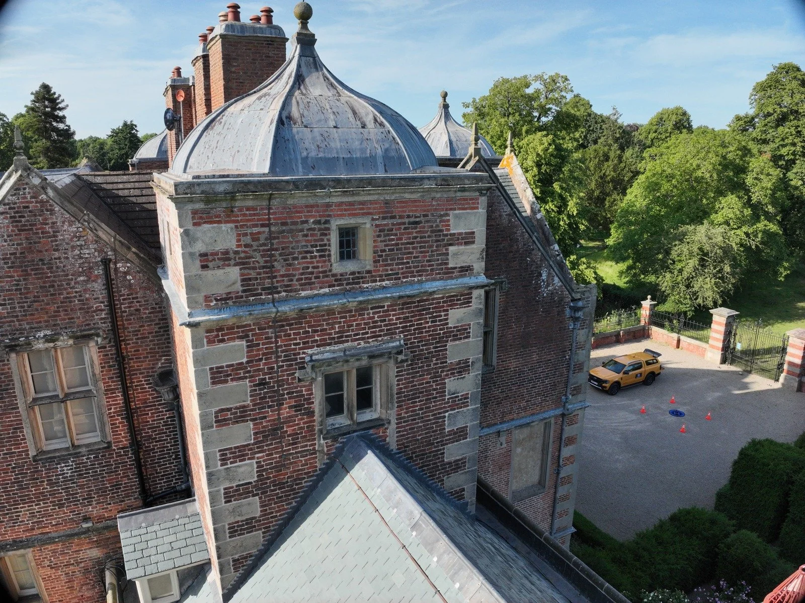 HERITAGE / KIPLIN HALL
From the model to the detail.
Close imagery gives your team a view of the materials, surfaces and areas that may need further investigation.
Explore our case studies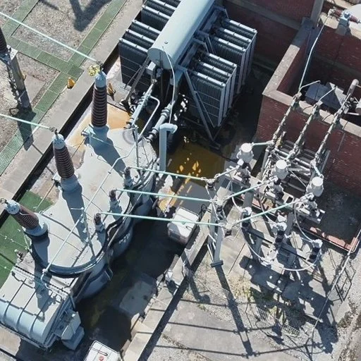
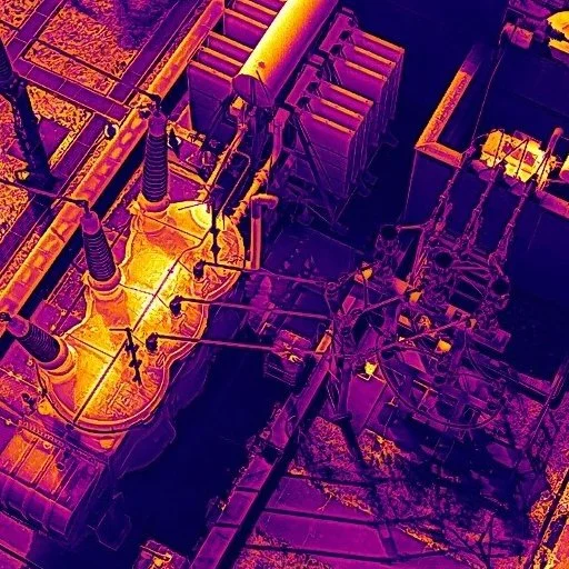
See beyond the visible.
One substation. Two perspectives. Drag the slider to compare the visible equipment with its thermal patterns.
Matching substation capture, aligned for comparison. Thermal patterns need interpretation in context.03 / THE ROPE & ROTOR DIFFERENCE
AERIAL CAPTURE. PRACTICAL INSPECTION EXPERIENCE.The view from above.
The experience
up close.
Some questions need a drone. Others need hands-on access. We bring both perspectives to the same conversation.
The method follows the brief.
We help you choose between visual capture, thermal, LiDAR and rope access around the asset and information you need.
Agree the output at the start.
Images, reporting, point clouds or a 3D model: we agree the scope, suitable accuracy and formats before capture.
A practical route to a closer look.
Where the work calls for it, rope access supports hands-on inspection, NDT and maintenance at height.
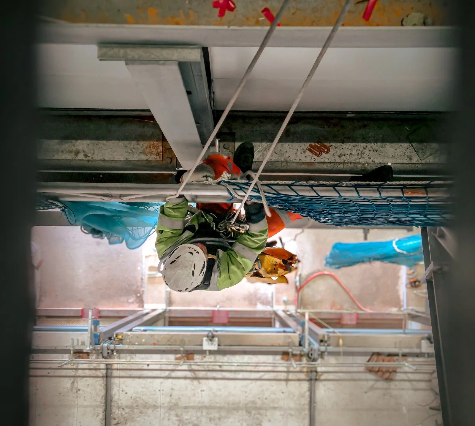
One clear purpose.Practical experience in demanding environments.
04 / FROM FIRST QUESTION TO CLEARER ANSWERS
Start with your site.
We’ll take it from there.
Tell us what you need.
Share the location, the asset and the question you need answered. You don’t need to know which equipment to ask for.
Agree the right approach.
We scope the work, review access and flight requirements, and agree the capture method and deliverables.
Put the information to work.
Receive the agreed outputs to help your team discuss findings, plan maintenance or decide where to investigate next.
05 / BEFORE YOU GET IN TOUCH
Drone inspection
& survey FAQs.
Not sure which service fits?
That’s a good place to start.
What will an inspection cost?+
It depends on the asset, location, access requirements and outputs you need. Send a brief description and the site postcode so we can scope the work and provide a project-specific quote.
Do you work outside Sheffield?+
Yes. We are based in Sheffield and work across Yorkshire and nationwide. Tell us where your site is and we’ll discuss the practical arrangements.
What will I actually receive?+
We agree the deliverables before starting. Depending on the brief, these may include detailed imagery, inspection reporting, thermal records, point clouds or an interactive 3D model.
Can you combine drone and hands-on inspection?+
Yes. Aerial capture gives the wider picture, while rope access provides a closer look at details that need hands-on inspection or testing. We plan the combination around your site.
How do I choose the right survey?+
Start with what you need to understand or resolve. We’ll recommend the approach and outputs that best support your next decision.
06 / YOUR NEXT MOVE
Let’s get a
clearer picture.
Tell us about your site and what you need to find out. We’ll help you shape the right inspection or survey.
SHEFFIELD, SOUTH YORKSHIRE
PROJECTS ACROSS THE UK
START YOUR ENQUIRY
A few details.
A clear next step.
Use our project enquiry form to tell us what you need. We’ll help you work out the right approach.
- 01 Where is your site?
- 02 What needs inspecting?
- 03 What do you need to find out?
Continue to our contact page · No obligation